Mapping Mobilities:
Exploring urban and transnational networks
with: Tracing Spaces
(Michael Hieslmair & Michael Zinganel )
#tracingspaces #metabolism #mobilities #mapping #urban transformation #actorbased-research #interrelated-socio-spatial-networks #hubs-and-nodes #corridors-of-mobility #transnational-mobilities


From the perspective of metabolism, the territory of a city cannot be delimited: a city is only one node among many in a widely dispersed network, which is physically connected and activated by the mobility of actors and transportation of goods. Traffic today is primarily discussed as a problem for various reasons. However, both movements originally formed the basis for the foundation of cities as places of trade, also enabling intellectual exchange and innovation, and providing migrant workers for services that guarantee the quality of lifestyle, we all enjoy.
We should not perceive hubs of transnational passenger and freight transportation only as non-places lacking any histories, but rather as places of potential social exchange that can emerge and disappear – being made and unmade – which therefore question established ideas of urbanism and community-making.
Starting from such nodal points in Vienna's urban area, we will examine their transnational entanglement, make particular use of the practice of mapping or ‘deep mapping’ – a multilayered multi-media and format practice of 2d and 3d mapping – as our central analytical tool. In a world increasingly redefined in terms of dynamic networks of mobilised and demobilised people, objects, and capital, ‘mapping has become a way of making sense.’ Although maps have had a hard time in the context of Marxist post-structuralist and postcolonial critique, with a political purpose leading to people being pushed ‘off the map,’ the very same arguments empowered the strategy of counter-mapping in critical geography, arts, political and urban activism, making visible who and what had been under-represented thus far or entirely repressed from representation while also revealing the networks of established power structures.
But maps should be viewed not only as an appropriate device for the representation of mobility patterns; instead, live mapping is a great relational tool for stimulating interaction with other people.
Michael Hieslmair and Michael Zinganel, architects, artists and urban researchers, founded the independent and interdisciplinary research platform Tracing Spaces in 2012. They conceive and produce projects, exhibitions, publications and mediation formats on the topics of urban research, mobility, tourism and migration as well as research-based art and research projects.
Starting from the mobility routes and rhythms of migrant workers in highly touristy Alpine valleys in Tyrol, the research locations were extended from the end stations of commuter movements to stopping points along the transport axes: highway rest stops, informal markets, border crossings, ferry ports, etc. Methods of research and techniques of representation were successively developed in order to convey both the micro-political mobility experiences of mobile individuals and the overarching macro-political goals of (supra)-state institutions and private companies.
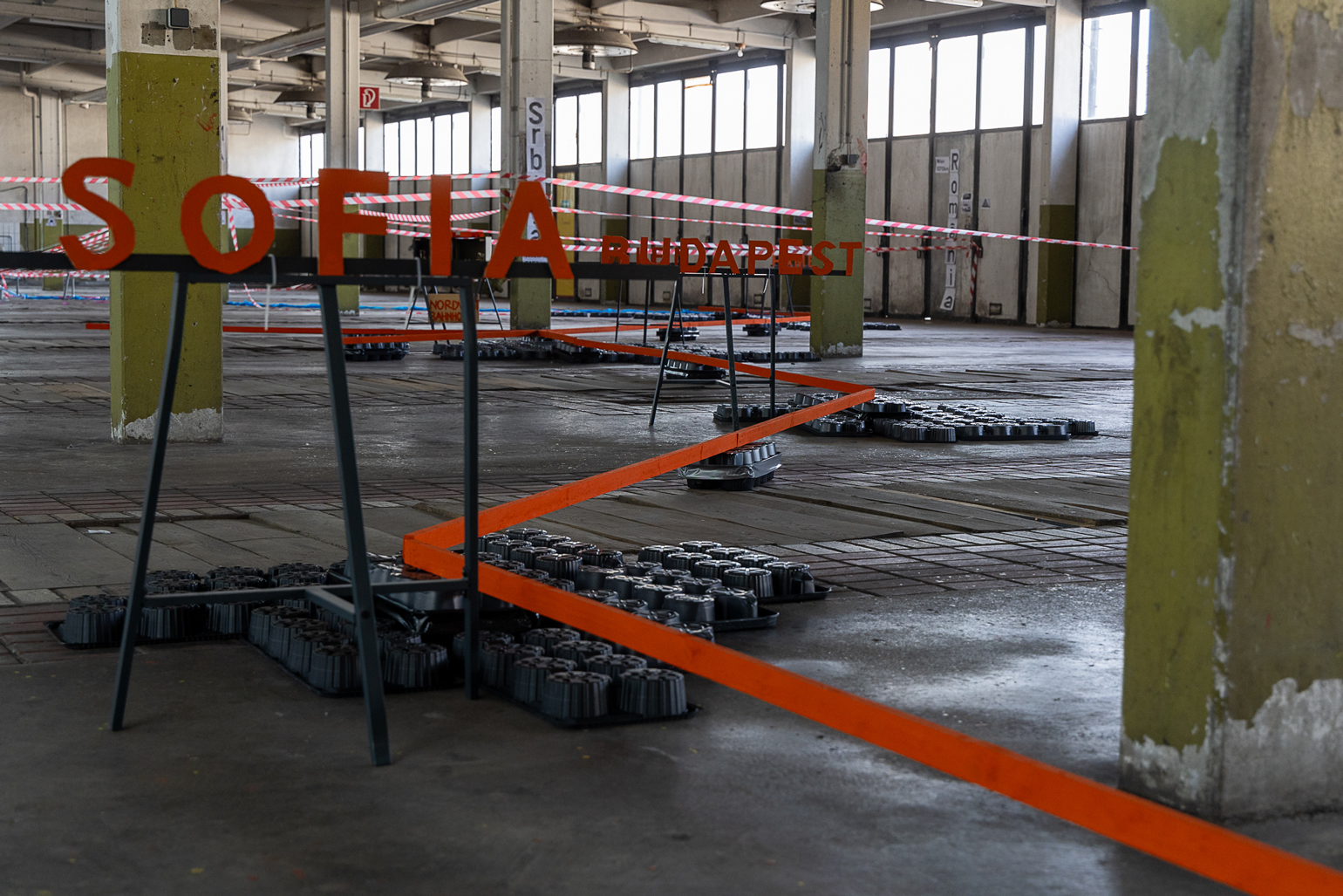
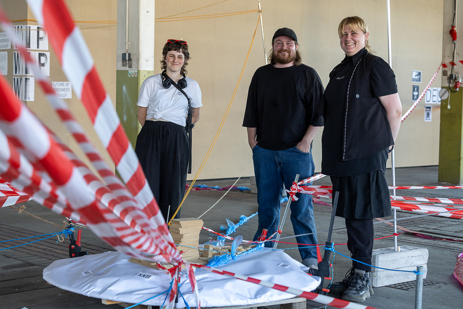
Tracing Spaces has been running a project space since 2015, since 2020 under the name ‘Museum Nordwestbahnhof’, where – embedded in the social milieu of the logistics landscape – a multi-layered, multimedia cartography of the history of this area has gradually emerged in the middle of the last inner-city logistics hub.
https://tracingspaces.net
︎MEDIA: (Deep) multimedia mapping, drawing, 2 d and 3d diagrams, models, comics, audio
︎LOCATION: Main location
︎TEACHING LANGUAGE: English
︎WHAT TO BRING: Interest in reflecting patterns of different modes of mobilities (local and transnational transport, migration, commuting)
︎REQUIREMENTS: None
︎MAXIMUM NUMBER OF PARTICIPANTS: 5